North Carolina
Licensed Land Surveyor serving Carteret, Onslow, Craven and surrounding counties

Our
Services
-
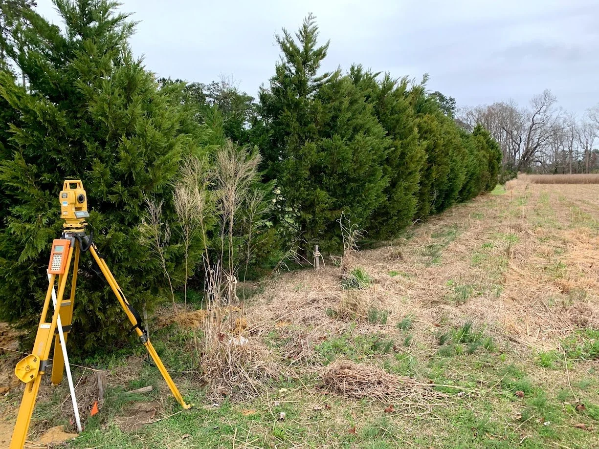
Boundary Locations and Fence Line Staking
Using deeds and plats of record, I will determine parcel boundary lines and place wooden stakes along property lines as needed for placing fencing.
-
Site Plan Preparation
Whether it's a new business, or a residential site plan that's needed, We will help you get the mapping done to continue your project and help guide you through the permitting process.
-
Elevation Certificates and bench mark placement
Using the most current technology and FEMA elevation data, we can provide residential or commercial Elevation Certificates and temporary bench marks to facilitate new grading or building projects.
-
Minor Subdivisions
When you are considering dividing larger tracts of land into smaller lots or tracts, we can help you through the process of planning, surveying and mapping those projects.
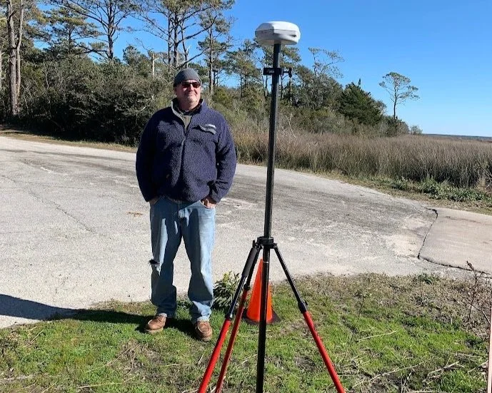
With over 35 years of Experience…
A Licensed North Carolina Land Surveyor will oversee every aspect of the surveying project: Research ownership, easements of record, historical plats performs all field work and computations and mapping services.
North Carolina Land surveyor since 1993
Land surveyors require years of work experience and accumulated knowledge to best determine boundary relocation and retracement. As a member of the North Carolina Society of Surveyors, David has demonstrated a commitment to the public and to the community to provide honest, effective boundary surveying services.